Comprehensive Existing Condition Mapping & Demolition Planning for a 130-Acre Residential Development
Introduction
Key Challenges
- Incomplete Site Documentation
Existing drawings were outdated and lacked critical details, making it difficult to rely on them for planning.
- Complex Site Condition
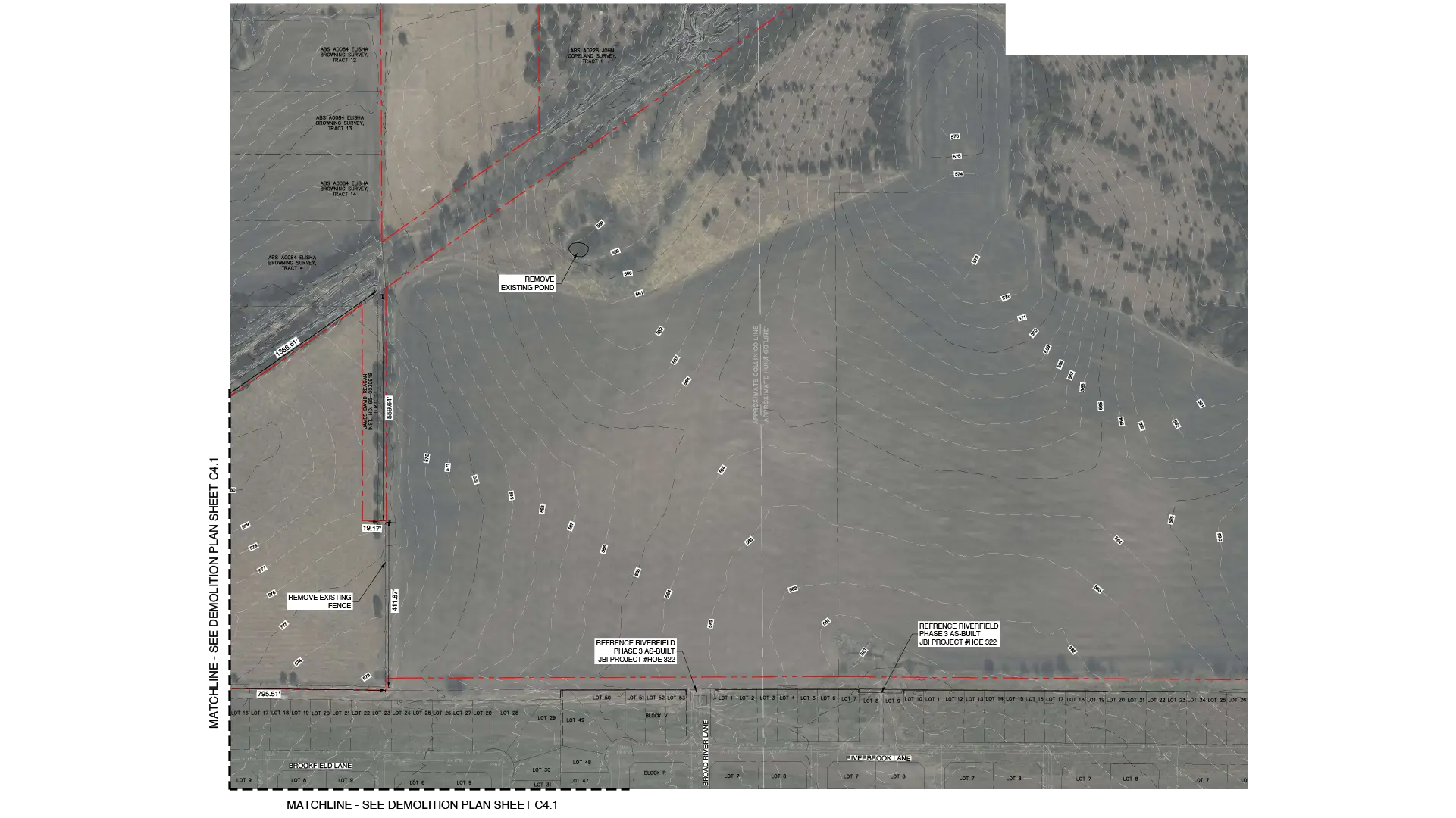
The site included multiple structures, landscape elements, and utility lines that needed careful identification and categorization.
- Hidden Utilities and Unknown Elements
Underground utilities and undocumented features pose risk during demolition planning.
- Coordination Between Teams
Aligning structural, architectural, and civil input was challenging due to inconsistent data sources.
- Safety and Compliance Requirements
Demolition planning had to strictly adhere to local regulation and safety standards.
Approaches and Solutions
- Detailed Site Assessment
- Accurate Existing Condition Drafting
- Layered Demolition Planning
- Utility Mapping and Risk Identification
- Standardization and Compliance
- Cross-Discipline Coordination
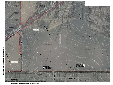
Conducted thorough analysis using survey data and referenced documents. Also verified and updated missing or inaccurate site information.
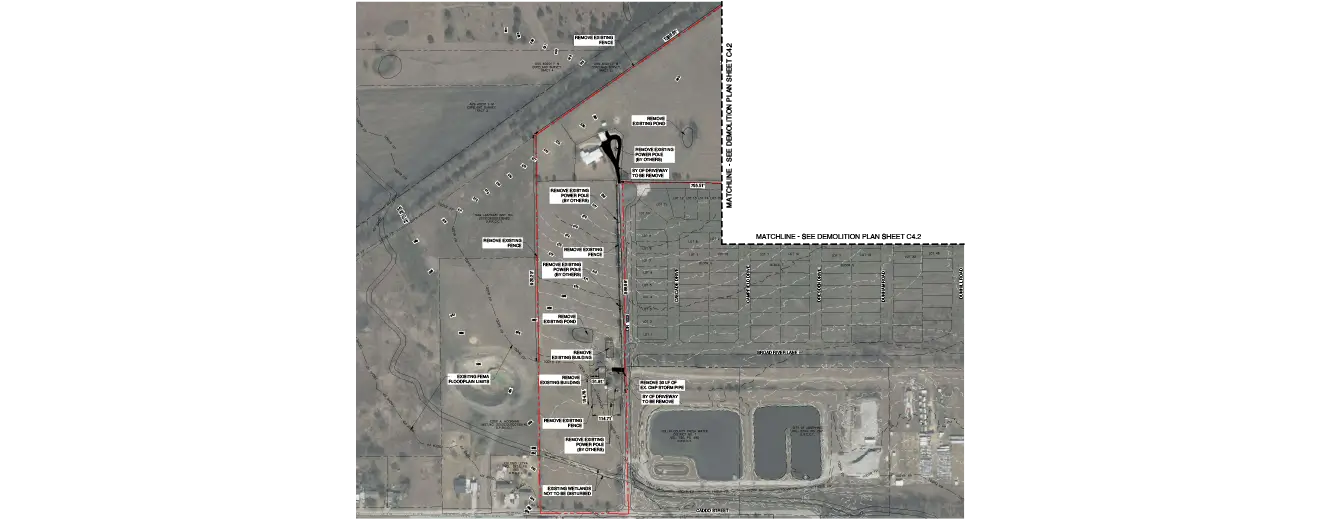
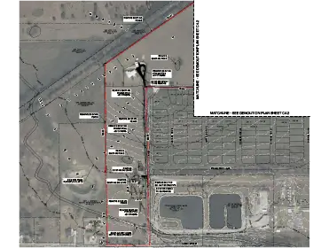
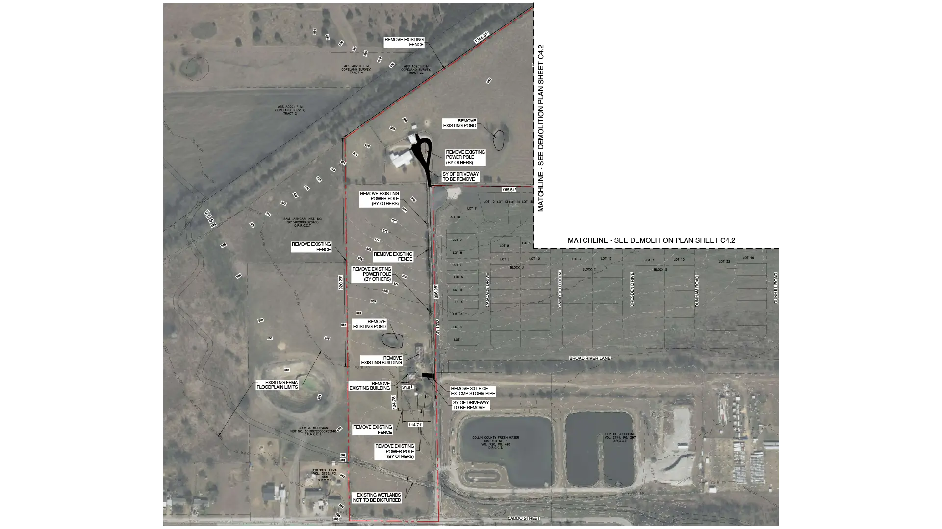
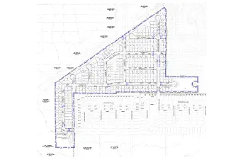
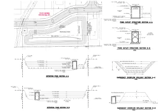
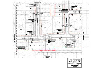
Developed clear and precise CAD drawings representing all site elements, which include utilities, structure, access points, and topographical details.
Then categorized elements into demolished, retained, and protected. Used clear annotation and symbols for easy interpretation.
Identified potential risk and conflicts with underground and overhead utilities. Highlighted critical zones that needed special attention during demolition.
Ensured drawings meet local codes, regulations, and industry standards. Maintained consistency in symbols, linework, and documentation.
Integrated inputs from multiple stakeholders and reduced clashes. With cross-disciplined coordination, communication across teams was improved.
Final Outcome
-
Delivered highly accurate existing condition drawings for the entire site.
-
Improved project clarity, enabling faster decision-making.
-
Create a clear and actionable demolition plan with detailed annotation.
-
Supported a smoother transition into the design and construction phase.
-
Reduced risk with unknown site conditions.
Client Overview
The client is a land development firm that specializes in residential and mixed-use projects. They require reliable and accurate documentation to initiate redevelopment and minimize uncertainties and ensure compliance.
With a structured drafting and detailed approach, the project helped the client move forward with confidence and set up a foundation for successful project execution.
Start your project with precise site data and clear demolition plan
Get clarity before you build.

Nabil Shaikh is the Senior Accounts Manager at Gsource Technologies, overseeing key departments including land surveying, civil engineering, and signage design. With a strong understanding of multidisciplinary workflows, Nabil ensures seamless coordination between teams and clients, driving projects toward successful outcomes. Known for his detail-oriented approach and commitment to delivery, Nabil plays a crucial role in strengthening client relationships and ensuring consistent project performance.
Related Case Studies
(Enter captcha image text in box)