


Want Permit-Ready Plans Fast?
We’re experts at transforming raw field data within your deadlines.

Drafting Clarity Into Every Commercial Site
At Gsource, we convert your field data, survey measurements, and site records into accurate, regulation-ready boundary survey drafts that streamline due diligence, approvals, and property transactions. With 17+ years of global AEC expertise, a 350+ multidisciplinary team, ISO-certified workflows, and a 99% client satisfaction rate, we deliver end-to-end survey drafting support globally that ensures precision, clarity, and full compliance with ALTA/NSPS standards.
 9001:2015
  27001-2022
  19650-1:2018
  14001:2015
  45001:2018
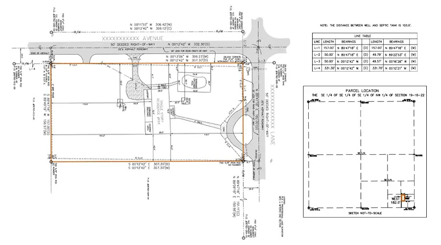
30% faster delivery of approval-ready boundary and topo survey drafts
<2% variance in boundaries, easements, encroachments, and improvements
24/7 collaboration with expert land survey drafting teams

100% compliance with ALTA/NSPS, zoning, and municipal standards
Up to 35% cost savings through accurate drafts and fewer revisions
Accurate, clear commercial survey drawings showing boundaries, improvements, easements, and site conditions for documentation and permitting.
Detailed terrain models capturing elevations, slopes, and contours to support grading, planning, and engineering decisions.
Visual exhibits illustrating key site elements, encroachments, and boundary details for reports, presentations, and approvals.
Precise contour representations of site elevation changes to guide grading, drainage planning, and design development.
Mapped layouts showing permitted uses, zoning constraints, and site limitations to support planning and compliance reviews.
Comprehensive boundary maps outlining property lines, adjoining parcels, and relevant survey data for legal clarity.
Drafted representations of buildings, pavements, utilities, and site features located within property boundaries for accurate assessments.
Clear, survey-accurate property descriptions defining metes, bounds, and parcel limits for deeds and official documentation.
Get tailored solutions to fit your project’s scale and complexity
Clearly defined deliverables & fixed-scope milestones.
Ongoing technical support & on-demand expertise.
High-volume multi-disciplinary, & long-term integration.
Adaptive workflows & complex, evolving project requirements.
We’re experts at transforming raw field data within your deadlines.
Multi-level QC for error-free as-built drawings.
Skilled professionals with deep industry experience.
Confidentiality maintained with strict protocols.
Precision and accuracy delivered on tight schedules.
High-quality services without breaking your budget.
Aligned with ISO 9001 and ISO 27001 for consistent quality.
Single point of contact with real-time updates throughout the project.
Clean, organized files with quick help for any updates after delivery.
Get expert support to streamline your next project.

Free Initial Consultation - No Commitment Required

Secure and Confidential Project Information

17+ Years of AEC Expertise

450+ Drawing Deliverables Daily

Industry Standards Compliance Guaranteed
Contact us to obtain professional commercial boundary survey drafting services, including precise boundary maps and site plans tailored to your commercial property.
Our commercial boundary survey drafting packages include detailed boundary maps, site plans, property lines and legal descriptions to meet your commercial needs.
Yes, we offer commercial boundary survey drafting services for multi-use properties. This allows accurate boundary definitions and site layouts for diverse commercial applications.
Yes, we offer digital commercial boundary survey drafting services, providing you with electronic copies of site plans and boundary surveys for easy integration and review.
Our commercial boundary survey drafting services provide accurate property boundaries and detailed site plans. These help you make informed decisions during the property acquisition process.
Yes, our team provides ALTA/NSPS-compliant commercial boundary survey drafting. Our team ensures that all encumbrances, easements, improvements, and zoning notes are accurately documented for lender and title review.
Absolutely. We specialize in fast-turnaround commercial boundary and topographic survey drafting for large commercial parcels, supported by scalable teams and 24/7 production capability.
Yes, we provide CAD cleanup, standardization, and layer management for commercial boundary surveys. We make sure that the files align with your company’s templates and the county requirements.
We can incorporate drone, LiDAR, and point-cloud data into boundary and topo drafting. You receive highly accurate surfaces, contours, and site models.
Yes, we offer dedicated commercial boundary survey drafting support for high-volume survey firms. Our experts help you manage workloads, reduce rework, and maintain consistent drafting quality across projects.
(Enter captcha image text in box)