Be it noisy point clouds or polished outputs.
Leave the post-processing to us.

Turning Complex LiDAR Scans into Clear, Reliable Geospatial Outcomes
At Gsource, we transform your raw LiDAR scans, whether captured through aerial, mobile, terrestrial, or UAV platforms, into clean, accurate, and fully processed geospatial datasets ready for engineering, surveying, planning, and mapping workflows. With 16+ years of global geospatial expertise, a 350+ multidisciplinary team, ISO-certified production processes, and a 99% client satisfaction rate, we deliver end-to-end LiDAR post-processing support that ensures precision, reliability, and complete adherence to your project requirements.
 9001:2015
 27001-2022
 19650-1:2018
 14001:2015
 45001:2018
Up to 35% faster turnaround for large-scale LiDAR datasets
High-accuracy classified point clouds with <5 cm vertical RMSE
24/7 collaboration with experienced LiDAR and GIS processing specialists
100% compliance with your accuracy standards, coordinate systems & classification rules
Up to 40% cost savings through clean processing workflows and minimized field revisits
Efficiently process raw point cloud data into clean, structured datasets ready for analysis and modeling workflows.
Classify point clouds into ground, vegetation, buildings, and utilities for accurate modeling and geospatial interpretation.
Generate precise DTM and DSM outputs that support engineering design, grading, visualization, and site planning.
Extract terrain, structural, utility, and environmental features from point clouds for detailed mapping and documentation needs.
Create data-rich product models that streamline asset documentation, digital inventories, facility management, and engineering workflows.
Develop accurate 3D component models representing equipment, assemblies, structures, and assets for seamless design integration.
Build standardized, reusable asset libraries that ensure consistency, accuracy, and efficiency across engineering and BIM projects.
Convert point cloud data into highly accurate CAD drawings supporting architectural, structural, MEP, and as-built documentation.
Transform laser scan data into LOD-specific BIM models that enhance coordination, renovation, and facility management tasks.
Create interactive 3D models with web-viewer access for easy visualization, collaboration, and remote project exploration.

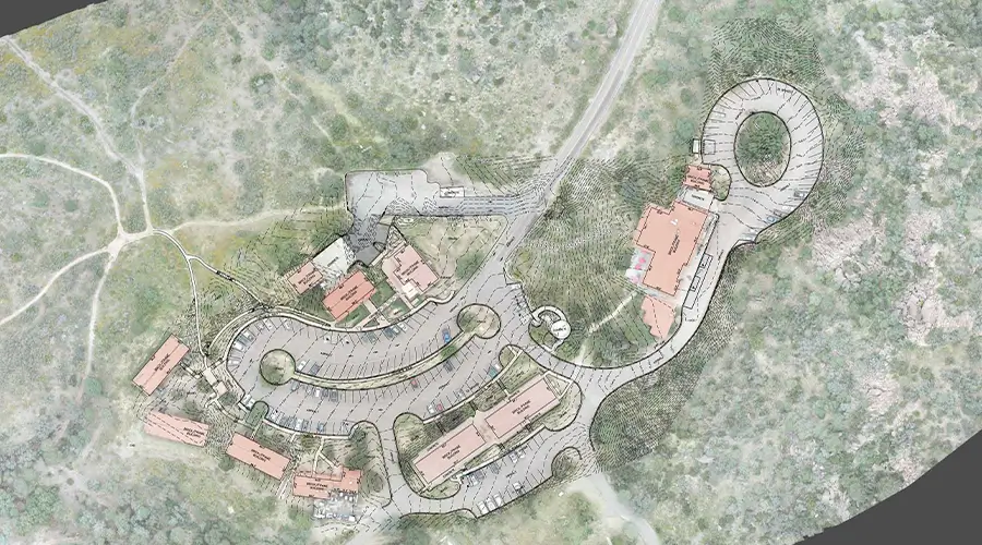
Model roads, corridors, and powerline networks from LiDAR data for engineering analysis, planning, and maintenance.
Produce accurate subsurface and above-ground utility models to support design, excavation, safety, and asset management workflows.
Generate clear, detailed 2D plans and schematics from point clouds for documentation, permitting, and construction applications.
Leave the post-processing to us.
Multi-level QC for error-free as-built drawings.
Skilled professionals with deep industry experience.
Confidentiality maintained with strict protocols.
Precision and accuracy delivered on tight schedules.
High-quality services without breaking your budget.
Aligned with ISO 9001 and ISO 27001 for consistent quality.
Single point of contact with real-time updates throughout the project.
Clean, organized files with quick help for any updates after delivery.
Get expert support to streamline your next project.

Free Initial Consultation - No Commitment Required

Secure and Confidential Project Information

16+ Years of AEC Expertise

300+ Drawing Deliverables Daily

Industry Standards Compliance Guaranteed
LiDAR data processing includes noise removal, point cloud generation, point classification (terrain, vegetation, structures), and creation of DEMs, DSMs, and 3D models.
Yes. Gsource tailors LiDAR processing solutions based on project requirements, whether for environmental studies, heritage documentation, planning, or engineering workflows.
Pricing depends on project area, terrain complexity, data density, and required deliverables.
We deliver DEM/DTM models, point classifications, feature extractions, Scan-to-CAD/BIM files, utility and powerline models, road models, PIMs, asset libraries, and 2D/ schematic drawings.
Timelines depend on area size and output detail. Small projects may take 2–3 days; larger projects vary based on scope and complexity.
Yes. Gsource has the infrastructure and skilled team to manage and process large, high-volume LiDAR datasets efficiently.
Yes. We can share sector-specific samples from our portfolio to demonstrate capabilities and deliverable quality.
We follow strict security protocols and use controlled-access systems to keep all client data protected and confidential.
We offer post-delivery support for troubleshooting, file understanding, minor revisions, and additional mapping needs.
Our QC team validates all outputs using a defined checklist to ensure accuracy before final delivery.
Our team actively engages in industry events, training, and technology updates to stay aligned with the latest LiDAR standards and tools.
We use Pix4D, QGIS, Leica, AutoCAD, Cyclone, and other industry-standard tools for precise processing and mapping.
(Enter captcha image text in box)